

- 4 Views
- 3 Min Read
- (0) Comment
Discover the Closest View of K2 from a Hidden Karakoram Valley
In the far eastern edge of Gilgit-Baltistan, where the Shyok River flows beside ancient stone villages and snow-covered peaks guard the horizon, lies a place still untouched by mass tourism — Machulo Village.
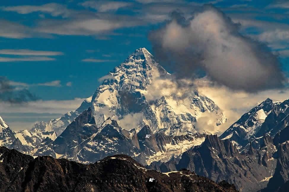
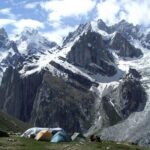
This is not just a village. It is a gateway to one of the most breathtaking natural theaters on Earth, where the mighty K2, Broad Peak, Gasherbrum I & II, and Nanga Parbat reveal themselves in a single panoramic frame. Welcome to Machulo La – The K2 View Point Trek, one of the easiest yet most rewarding high-altitude trekking experiences in the Karakoram Range
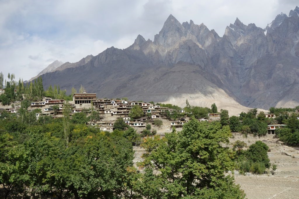
Machulo Village – Life Beneath the Giants
Machulo is a traditional Balti village located in the Hushe Valley region of Ghanche District. Surrounded by rugged mountains, apricot orchards, and glacial streams, the village reflects the pure mountain lifestyle of Baltistan.
Life here moves slowly. Locals depend on agriculture, livestock, and seasonal tourism. The people are known for their warmth and hospitality, often welcoming trekkers with tea and stories of the mountains they have lived beside for generations.
From Machulo, the trail towards the high ridges begins — leading travelers gradually from green valleys into the world of ice, rock, and silence.
Machulo La (K2 View Point) – The Balcony of the Karakoram
At an altitude of around 5,000 meters, Machulo La is one of the most spectacular viewpoints in Pakistan. It is often described as a natural balcony overlooking the entire Karakoram Range.
Unlike the demanding K2 Base Camp trek, Machulo La offers a shorter, more accessible route while still delivering one of the most powerful mountain panoramas on Earth.
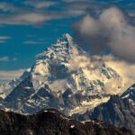
From the ridge, on a clear day, you can witness:
- 🏔️ K2 (8,611 m) – The Savage Mountain
- 🏔️ Broad Peak (8,051 m)
- 🏔️ Gasherbrum I & II
- 🏔️ Gasherbrum III & IV
- 🏔️ Nanga Parbat (8,126 m)
- 🏔️ K6, K7, and countless unnamed peaks
Standing here feels like being surrounded by giants — not just one or two peaks, but an entire kingdom of mountains rising above the clouds.
The Trek Experience – A Journey Through Changing Worlds
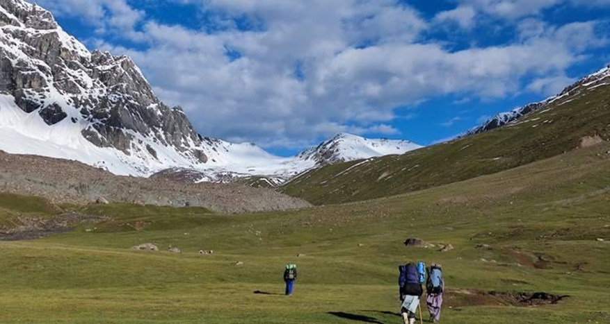
The Machulo La trek usually takes 2 to 4 days of hiking from Machulo village, depending on pace and route.
The journey begins with gentle trails passing through fields and summer pastures. As altitude increases, vegetation fades, replaced by rocky slopes and alpine terrain.
Eventually, trekkers reach high ridges where shepherd huts appear seasonally, and wildlife such as ibex can sometimes be spotted in the distance.
The final ascent is demanding due to altitude, but not technical — making it one of the most beginner-accessible K2 viewpoints in the region.
What makes this trek special is not difficulty — but reward vs effort. Few places on Earth allow you to witness such a powerful mountain panorama in such a short trek.
🧭 Sample Itinerary Machulo la trek
Day 1: Arrival in Skardu / Travel to Machulo Village
Day 2: Acclimatization & cultural exploration in Machulo
Day 3: Trek starts towards Machulo La/Qoli Brangsa
Day 4: top of Machulo La – K2 View Point & return
Day 5: Return journey / onward travel (Custom itineraries available for private groups and photographers, visit here www.machulo.com.pk )
FAQs – Machulo La Trek
Machulo La is located above Machulo Village in the Hushe Valley region of Ghanche District, Gilgit-Baltistan, Pakistan.
It is considered an easy to moderate trek. No technical climbing is required, but good fitness is recommended due to high altitude.
Yes. Machulo La is one of the best viewpoints in Pakistan to see K2 along with several other 8,000-meter peaks.
The trek usually takes 2 to 4 days depending on the itinerary and pace.
The best time is between June and September when weather conditions are stable and mountain views are clear.
Yes, it is highly recommended to go with a local guide for safety, navigation, and cultural experience.
Yes, it is one of the most beginner-friendly K2 viewpoint treks in the region.
Leave a comment: